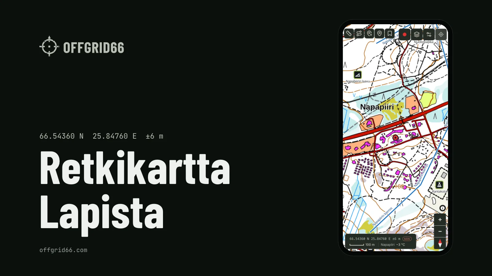
I'm building a hiking map app for Finnish Lapland here in Rovaniemi. It's called Offgrid66. The iPhone version is in testing through TestFlight. The App Store release is coming, but I'm not giving a date yet. An Android version will follow.
On many trails in Lapland the mobile signal drops out. Offgrid66 is built for that moment. The topographic map from the National Land Survey of Finland, your own track, your saved places and an emergency card keep working on the phone.
The free version
The free version shows the map online. You can save your own places and measure distances on the map. Two features are about safety, and both are free.
The first is sunset and the time back. While you record a track, the REC panel shows when the sun sets and how long the walk back along the same track takes at 4 km/h. If you would get back after sunset, the line turns red. In October the days in Lapland get shorter fast, so it helps to see that red line early.
The second is the emergency card. It shows your position in two formats: WGS84, the latitude and longitude most apps use, and ETRS-TM35FIN, the Finnish national grid. The National Land Survey topographic map uses the same grid.
The card also shows how accurate the fix is, the nearest place and how old the position is. A position older than five minutes turns red, and the card asks you to update it. You can call 112, the emergency number in Finland and across the EU, straight from the card, with your position already on the screen. You can also send a ready-made text message with your coordinates.
What Pro adds
Pro is for areas without coverage. Before you leave, you download the map and a corridor along your route. After that, both work offline. If a feature needs a connection, the app tells you. Recording continues with the screen locked, and the battery saver lets the screen turn off while you record.
Pro also includes routing, LIPAS layers (wilderness huts, lean-tos and trails from Finland's national database of sports and outdoor facilities), aurora data based on the Finnish Meteorological Institute's R number, weather, GPX and sync between devices.
Pro costs €3.99 a month or €29.99 a year, which works out at €2.50 a month. The first 14 days are free.
Where the data comes from
The map is the National Land Survey of Finland topographic map, licensed under CC BY 4.0. Weather and aurora data come from the Finnish Meteorological Institute. Huts, lean-tos and trails come from LIPAS. The Offgrid66 website credits all three.
offgrid66.com is open
The app's website, offgrid66.com, opened on 18 October 2026 in English and Finnish.
It has a comparison of six map apps used in Finland: Offgrid66, Karttaselain, Retkikartta, Topo GPS, Lokimaps and Luontoon. I compared them on nine criteria that matter on a hike in Lapland. Two examples: does the map work offline, and does recording continue with the screen locked? Offgrid66 is one of the six, so every row lists its source at the end of the page. You can check the claims yourself.
The site will also publish 16 guides, each in English and Finnish, two a week from 20 October to 10 December 2026. Topics include offline maps, coordinates and 112, wilderness huts, map symbols, contour lines, using a compass, the northern lights, polar night, forest fire warnings and campfires, everyman's rights, Urho Kekkonen National Park, the trail from Hetta to Pallas, the Karhunkierros trail, and Lapland weather and what to wear.
The logo
The logo is a worn crosshair, and its name is Patina. The same grey-green (#B9BFB3) became the app's action colour on dark graphite.
Ask for a test invite
If you want to try the test version on an iPhone, ask for an invite by email at offgrid66 at pm.me. Testing runs through TestFlight. It is a development build, so expect some rough edges.
The app, the comparison and the guides are at offgrid66.com/en/.
I have written here about two earlier personal projects: moving 2FA codes out of Google Authenticator and sending camera photos to Immich over Wi-Fi.